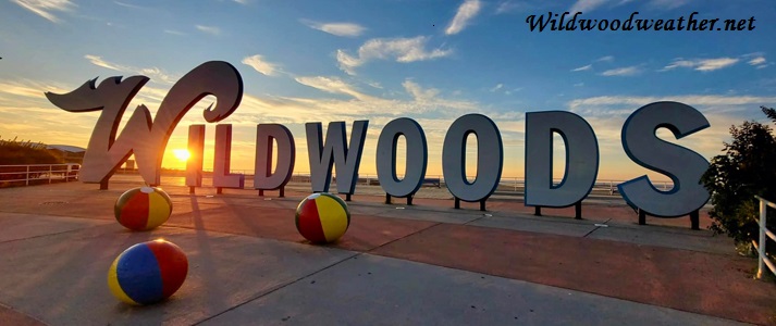
 Mornin'! It's 14° in Wildwood. The sky is clear and starlit. Breezes are light out of the North at 3-5mph. The sun's due up in about an hour. It's the calm before the storm. Cloud cover will gradually increase through the day, though we
stay dry overall (10% chance of precipitation - probably rain later). Highs in the low 30s throughout the region today and even higher temps overnight. Rain and/or snow showers may begin to spread into the region after midnight (100% chance of precipitation). The thing is that this storm could begin with rain then snow showers, switch again to mostly rain, add to that some wintry mix (ice and snow) and then more snow while we sleep. East by Northeast winds at 5 to 15mph which will ramp up to 25-35mph +gusting. Also, a winter storm watch goes into
effect at 7pm and expires at 1pm on Thursday. I can't tell you how amazing it is to read various weather forecasts with all the different predictions with this one. It seems like no one really know what it'll do. Right now though...Georgia's getting pummeled with an amazing, horrific ice storm that's headed up the states right toward us. It all remains to be seen. But, keep in mind...Wildwood's not exempt from this coming winter storm and also the tidal flooding not just from this storm but from Friday's Full Moon. 36 days until Spring!
Mornin'! It's 14° in Wildwood. The sky is clear and starlit. Breezes are light out of the North at 3-5mph. The sun's due up in about an hour. It's the calm before the storm. Cloud cover will gradually increase through the day, though we
stay dry overall (10% chance of precipitation - probably rain later). Highs in the low 30s throughout the region today and even higher temps overnight. Rain and/or snow showers may begin to spread into the region after midnight (100% chance of precipitation). The thing is that this storm could begin with rain then snow showers, switch again to mostly rain, add to that some wintry mix (ice and snow) and then more snow while we sleep. East by Northeast winds at 5 to 15mph which will ramp up to 25-35mph +gusting. Also, a winter storm watch goes into
effect at 7pm and expires at 1pm on Thursday. I can't tell you how amazing it is to read various weather forecasts with all the different predictions with this one. It seems like no one really know what it'll do. Right now though...Georgia's getting pummeled with an amazing, horrific ice storm that's headed up the states right toward us. It all remains to be seen. But, keep in mind...Wildwood's not exempt from this coming winter storm and also the tidal flooding not just from this storm but from Friday's Full Moon. 36 days until Spring!High tide:6:34p.m.
Low tide:12:14p.m.
Ocean temp:33°
Sunset:5:35p.m.
No comments:
Post a Comment