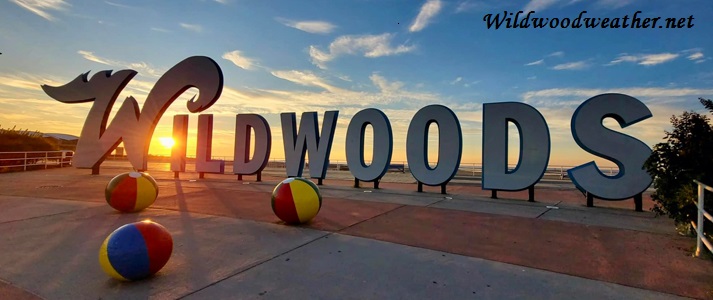
 Mornin'! It's 25° in Wildwood. We're under a clear, moonlit, starlit sky. It's quiet with hardly a breeze as it's literally the calm before the storm. It certainly won't be this quiet this time tomorrow. Today as we prep and batten down the hatches for this nasty Nor'easter we'll have a sunny start with temps in the low 30s. Breezes will be out of the North at 14-16mph. Clouds will increase later this morning as we may begin to see some snow showers heading into the evening. Snow accumulation is less than an inch. Rain, snow, and sleet enters the scene before 1am, then rain and sleet between 1am and 4am, then rain after 4am. Low around 32° on the overnight. The winds will begin to increase and shift from the NE at 35-45mph possibly gusting as high as 60 mph. Chance of precipitation is 100%. The island's not supposed to get the snow accumulation that Philly and New York will. At this time it's looking more like an enormous icy rain (flood) event for the coast. Blizzard Warnings are posted for surrounding areas beginning this afternoon and lasting into Sunday morning as Washington DC, Maryland, Delaware, Philadelphia and New York City could get upwards of 2 feet of snow. So far, it's not looking like a big snow event but more of a rain event along the coast. Guess it remains to be seen. Be safe!
High tide:6:23a.m.
Low tide:12:35p.m.
Ocean temp:38°
Sunset:5:09p.m.
Full Moon: Sat. night 1/23/16
Saturday
Rain. High near 41°. Dangerously windy, with northeast sustained winds of 41 to 43 mph, with gusts as high as 55+ mph. Chance of precipitation is 100%. New precipitation amounts between three quarters and one inch possible. Coastal residents along the Virginia, Delmarva and New Jersey coasts will need to heed local official warnings about coastal flooding. A strong onshore northeast wind will push tides higher and produce high wave action. Flooding will become a problem along the Jersey Shore as strong wind pushes ocean water inland. Combine the precipitation + the winds and the ocean's push + full moon and you get some serious tidal flooding. The combination could produce significant coastal flooding, beach erosion and damage to near-coast structures, especially early Saturday. Moving vehicles to higher ground or onto the mainland is seriously recommended.
Saturday Night
Saturday Night
Snow. Low around 31. Very windy, with a north wind 30 to 40 mph, with gusts as high as 55 mph. Chance of precipitation is 90%. New snow accumulation of 1 to 2 inches possible.
Sunday
A chance of snow, mainly before 11am and turning partly sunny, with a high near 38. Breezy. Chance of precipitation is 40%.
No comments:
Post a Comment